Barr Trail hike time calculator
13 miles and about 7400 ft of climbing from Manitou Springs to the summit. Enter your start time and pace: you get your summit time and where you will be at noon, when summer storms build.
How the estimate works
Naismith's rule: one hour per 3 miles plus one hour per 2,000 ft of climbing. Instead of spreading the climb evenly, the calculator walks the real elevation profile, so the steep upper miles cost more time than the gentler middle. At an average pace that gives about 8 hours to the summit; published guidance puts a typical ascent at 6 to 10 hours.
Our own assumptions, not published figures: the pace multipliers (0.85, 1.0, 1.2), the altitude option (15% slower on climbing sections above 10,000 ft) and the descent at 3 mph. The profile's climb (7,412 ft summed from USGS elevations) sits between the published figures of 7,390 and 7,800 ft.
Timing and lightning
Barr Camp
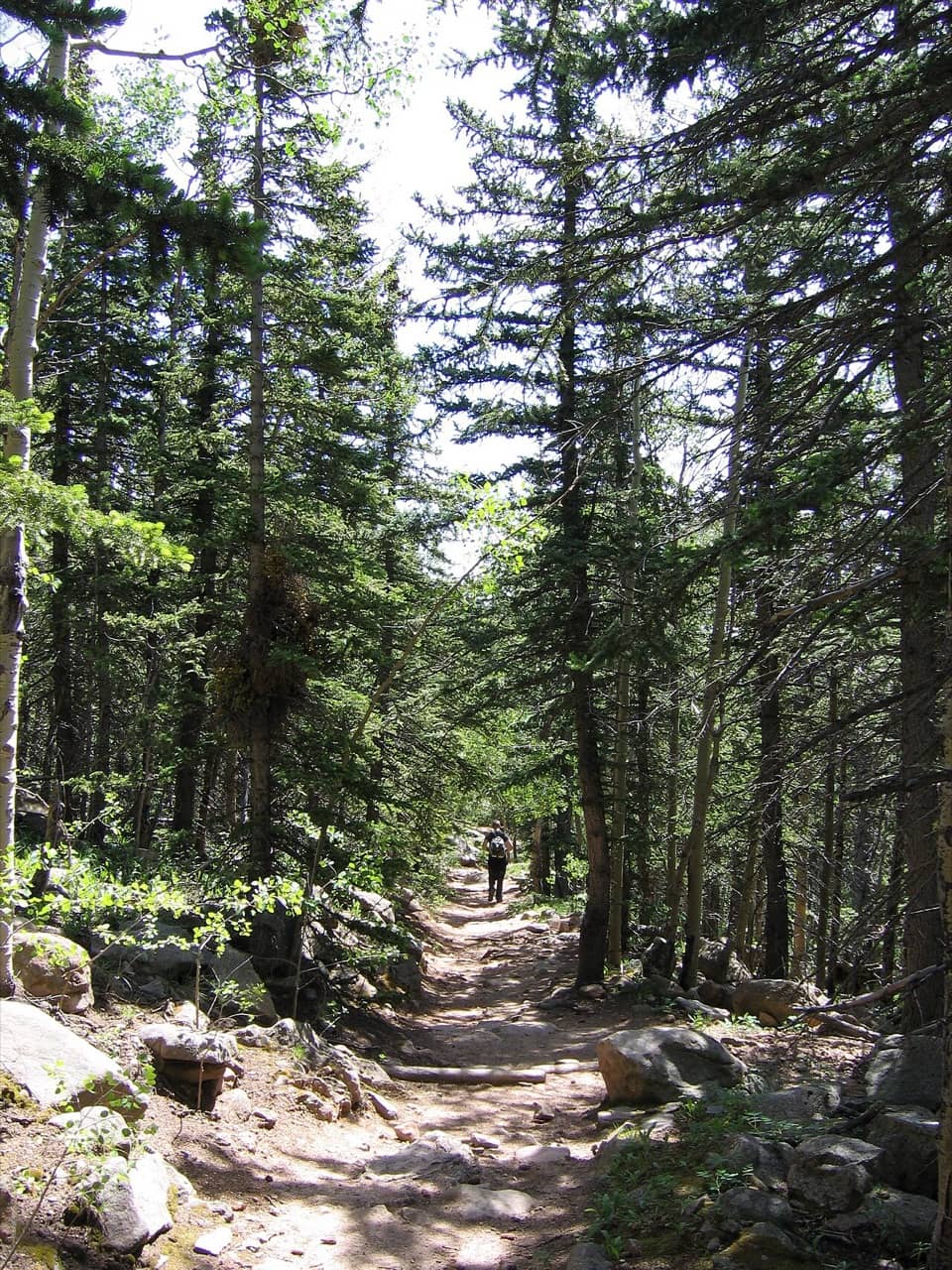

About 6.5 miles up (Barr Camp's own figure; other sources say 6.3 to 6.8) at about 10,200 ft. Staffed year-round, open to day hikers 7 AM to 8 PM in summer, with restrooms around the clock and snacks for sale (no water). Splitting the hike with a night here eases the altitude.
- Sleeps up to 52: bunkhouse from $45 per person, lean-tos $25 per person, tent sites $20 per person, plus an upper cabin (2026 rates, subject to change).
- Book online; reservations close 48 hours before. June to September book 3+ months ahead. Refunds only if cancelled 15+ days before.
- Bring a sleeping bag: accommodation is unheated and the camp runs about 15 to 20 °F colder than town.
Getting down
Walking down is the reliable plan. The Highway shuttle does not sell rides down to hikers, and Cog Railway one-way tickets are rare and sold only by staff at the summit. If you want a ride down, the safest option is a round-trip Cog ticket bought in advance, or someone driving up to meet you (with a timed-entry permit in season).
Mileage caution
Pikes Peak Ascent and Marathon mileages start at Manitou City Hall, about a mile below the trailhead, so race tables show larger numbers (Barr Camp at 7.6 mi). This page measures from the Ruxton Avenue trailhead at 6,707 ft.
Sources (13)· checked 2026-11-03
- Barr Camp home page
- Barr Camp: about
- Barr Camp: bunkhouse
- Barr Camp: day use
- Barr Camp: lean-tos
- Barr Camp: rates and policies
- Cog Railway: FAQ
- OpenStreetMap: Barr Trail route
- Pikes Peak Highway: shuttle
- Pikes Peak Marathon: course info
- Pikes Peak Region Attractions
- USGS 3DEP elevation service
- Wikipedia: Barr Trail
Every figure with its exact source: Barr Trail and Barr Camp on the facts page.
Facts on this page last checked 2026-11-03 by the pikespeak.info editor. Rules and prices change; confirm with the operator before you travel. See every figure with its source.